Aerial Survey & Mapping, PLC
.
Home
About
Industries
Why US
Services
Photogrammetry Services
Orthophoto
Airborne LiDAR
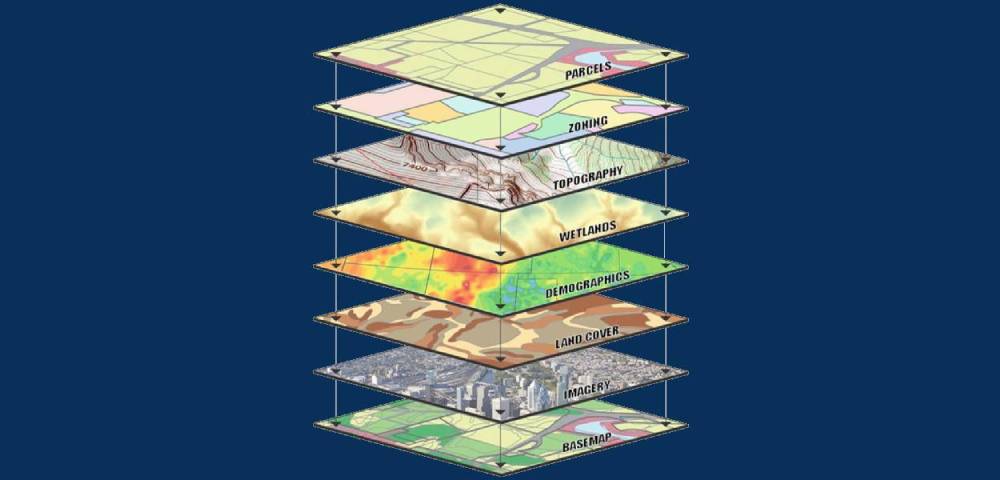
GIS
Golf courses
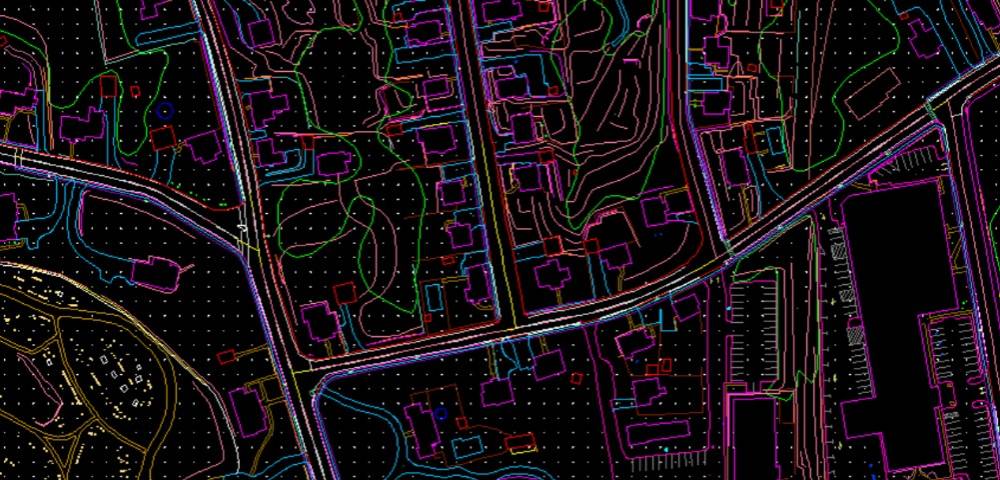
CAD / Cadastral Mapping
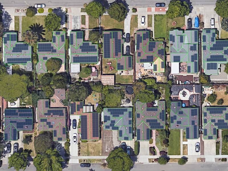
Solar Solutions
BIM Modeling
Terrestrial Laser Scanning
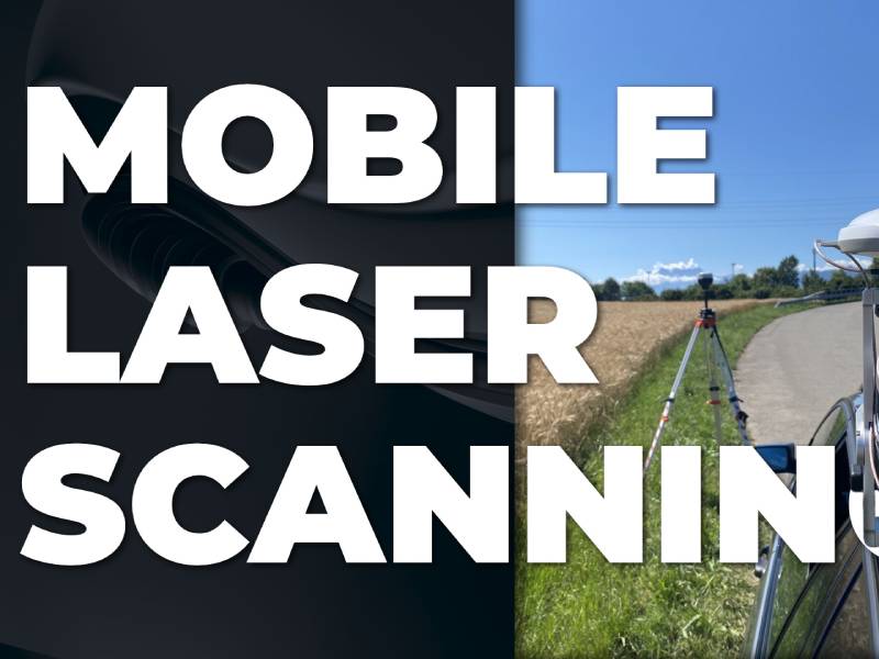
Mobile Laser Scanning
Surveying
Contact
Home
Services
Services
Photogrammetry Services
Aerial Triangulation (AT)
Planimetric Mapping
Digital Elevation Model
Contour Genration
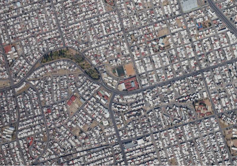
Topographic Mapping
3D City Modeling
Gis
Parcel Mapping
Land Survey Mapping
Utility Mapping
Corridor Mapping
Forest Mapping
Railway Mapping
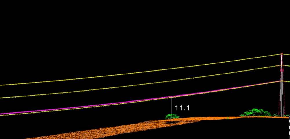
Lidar
Planimetric Mapping
Break line (2D & 3D) Collection
Transmission Mapping
Hydro Mapping
Contour Generation
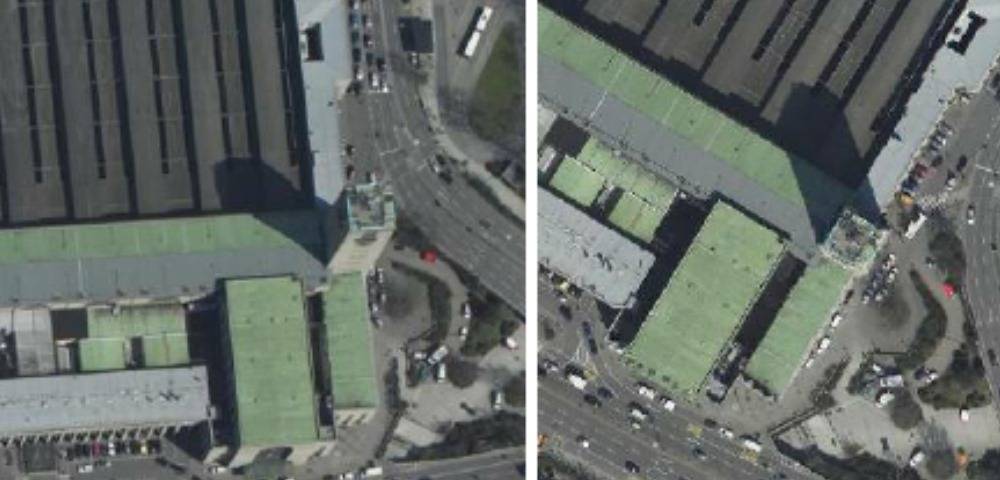
Orthophoto
All type of Ortho Generation and
Rectification
Mosaicking
Color Balancing
Seem Line Correction
Terrestrial Laser Scanning
3D Features Vectorization
Planimetric Features Collection
Mobile Laser Scanning
3D Features Vectorization
Planimetric Features Collection
CAD / Cadastral Mapping
Cadastral Mapping
Contour Mapping
Raster to Vector Conversion
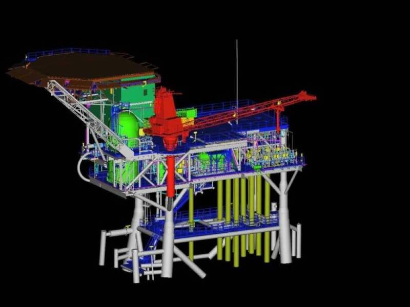
Civil Diagram
Machine Diagram
Oil Diagram
Gas Diagram
Golf courses
Fairway
Green
Path line
Sand
Tee
Tree
Water
BIM Modeling
Planning
Designing
Implementation
Infrastructure
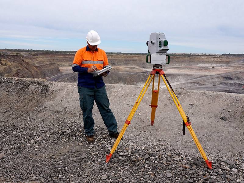
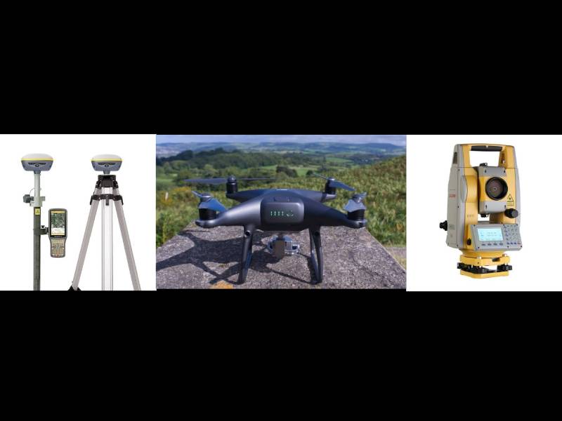
Surveying
Drone
UAV
DGPS
Total Station
Solar Pannel
Thermal drone based solar solutions